A 3+ Mile Hike To See The Hopi Site
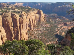 The site is at the bottom of the canyon and is over a 2000 foot drop in elevation. The trail is cut into the side of the canyon directly below where I took this picture. Took my time and I made it. There is no other way to see this site, and even then no one gets to go into it to look around.
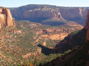 Here is another look at the canyon area. At the bottom it is flat and was cultivated for crops. Also there are Douglas Fir and aspen miniature forest habitat. Very rugged terrain.
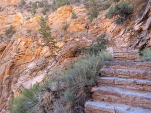 A view of some of the stairs. The only way into this site is by way of this 3 mile hike. It does keep the vandalism down. My interpreter, lived in the area as a youngster and remembers playing hide and seek in the ruins.
 The ruins are still viable as far as structurally sound. No water within the structure but right next to where I was standing was a small stream with enough water to provide for the inhabitants.
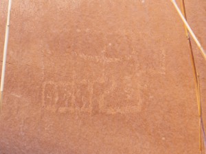
This drawing on the canyon walls was or is an architectural drawing for the ruins. All the rooms are built the same as this drawing.
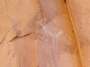
A drawing of an antelope. A very interesting hike, the change from the top of the canyon to the bottom where it is decidedly not dry like the top and then the old ruins.
I do not want to get too maudlin, it would be easy to do in this environment. If you are interested enough to visit the site and want to hike the trail, do wear good hiking shoes as the trail is not perfectly groomed. As always I have a whole lot more pictures of the Hopi Village, please click on any picture to see them.
