Tag Archives: Forest Service

Bohemia Trail Head, China Saddle

China Saddle

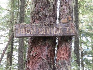
The trail starts here at the China saddle.  Originally built to provide access into the Bohemia Mining area from Oakland, Oregon.  Unknown if the trail is still viable from here to Oakland.

Bohemia Trail Head
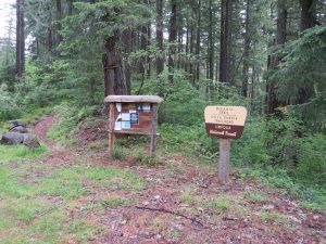
IMG_5067The trail was also part of the High Divide Trail in this area but so far I have not been able to find any information on it.  the Bohemia Part of the trail was built around 1866.

IMG_5071

When I do find information I am sure it will show up going in both directions from China Saddle.


Orchids

IMG_5076


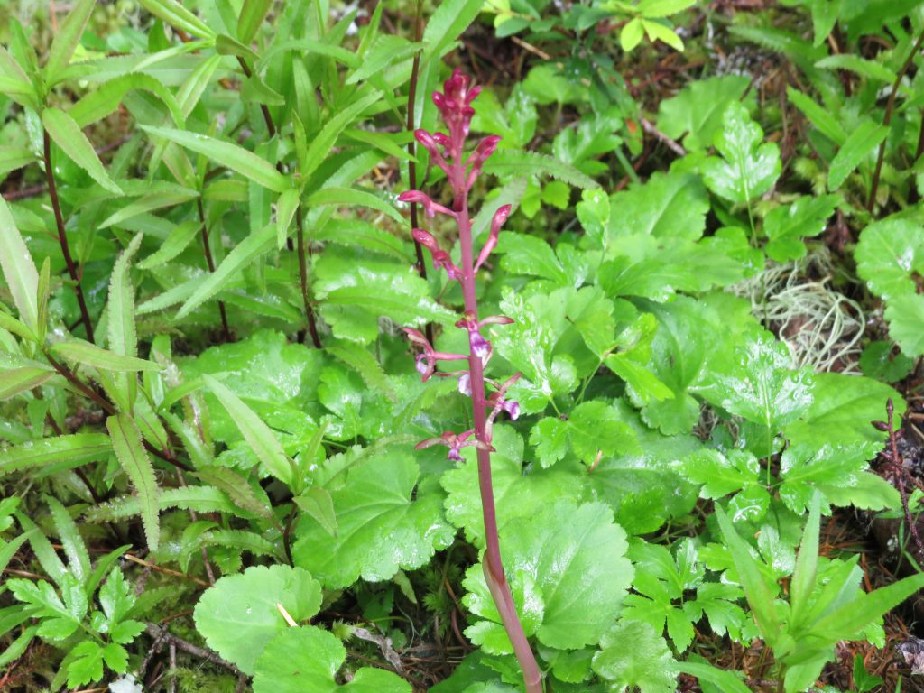
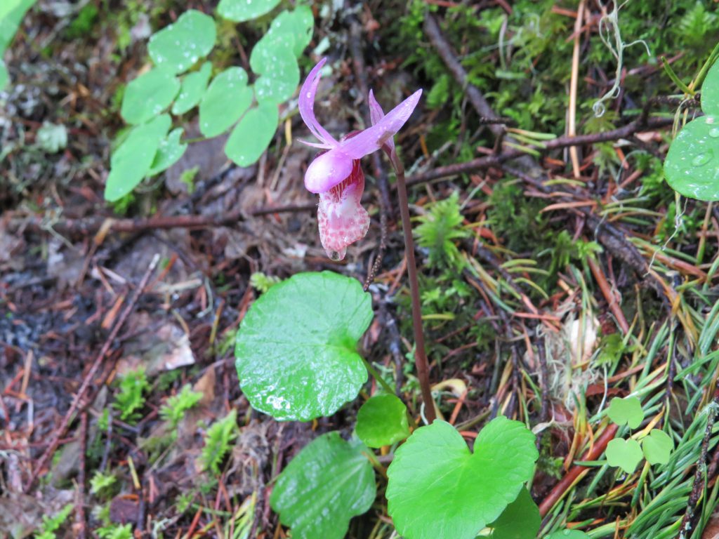
The above picture is of an Orchid.  Found a lot of these along the trail and below is a different one which were in abundance during our trek along the trail.

IMG_5095


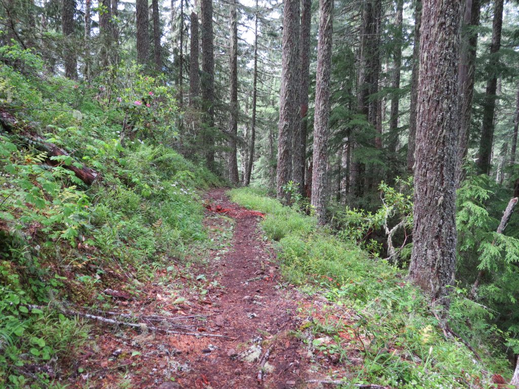
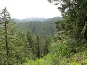
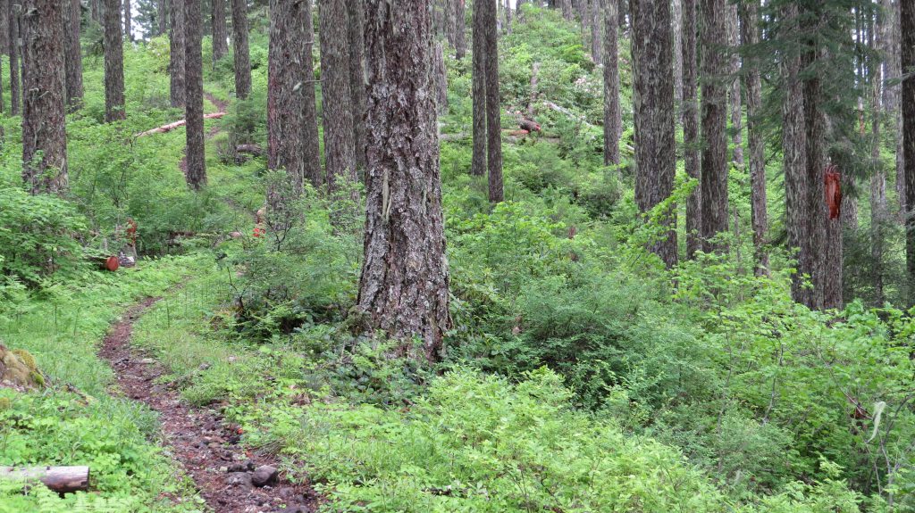
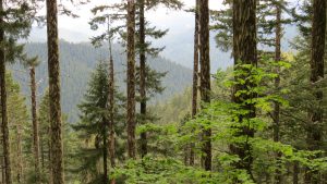
the next few are of the scenery along the trail.  The trail had long steep sections and took a lot of energy and stamina, although the trail itself was well taken care of.  On my part my own stamina and energy is getting better, although my agility is still stiff, read that as mind over matter and comfortable strength.
IMG_5089


IMG_5124


IMG_5156

IMG_5157


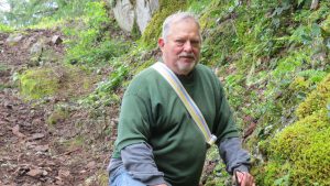
IMG_5214Below is yours truly and as always, please click on any picture and be taken to the full album.  Please leave a comment as well if you are so inclined.

Thanks for looking: Ken

IMG_5180


Hiking, Cascade Mountains

Lund Park

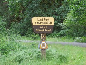
Parking area is here at Lund Park, also camping facilities as well.  Lund Park was actually a stop over for miners going to the Bohemia Mines.  A hotel and Inn were here until after 1940.  As late as 1960 a family still lived here in the last building standing.  Hardly any evidence any more as to what was here.IMG_5297

Marten Flume Creek

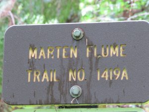
The Marten Flume Trail head is at Lund Park on Brice Creek Road in the Bohemia Mining District.  the flume carried water down from Marten Creek to a catch basin that in turn ran an electric generator to provide power to the local Hotel and road side inn at Lund Park.  The flume was built in the 1920’s and snow destroyed it sometime in the 1950’s at which time it was not rebuilt.  The buildings are all long gone now, the last building standing, had a family living in it until sometime around 1960, possibly later.

IMG_5300

The trail is rated difficult and we were on it just after it rained, which made it more difficult due to the wet and muddy conditions.  Very steep portions with no gravel making it slick in spots and other locations with debris to climb over.

IMG_5304

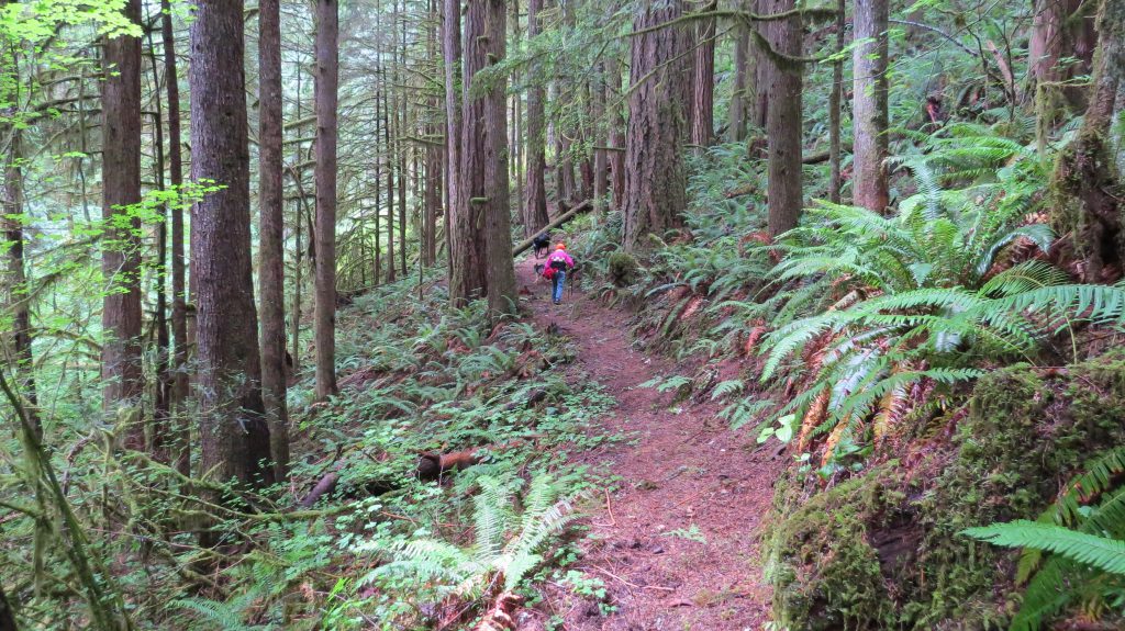
Trail was cut into the side of the mountain, which was very steep when getting off of the trail.

IMG_5319

The trail eventually will come to a cross trail you can take to connect to Knott Trail or continue on back to Lund Park.

IMG_5325

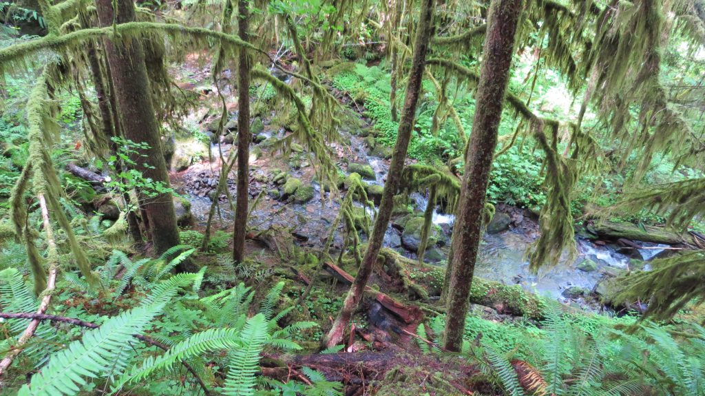
Some of the scenery available along the trail.

IMG_5358

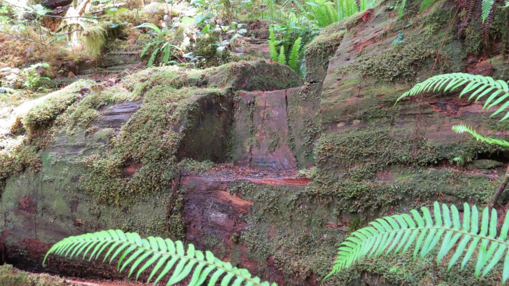
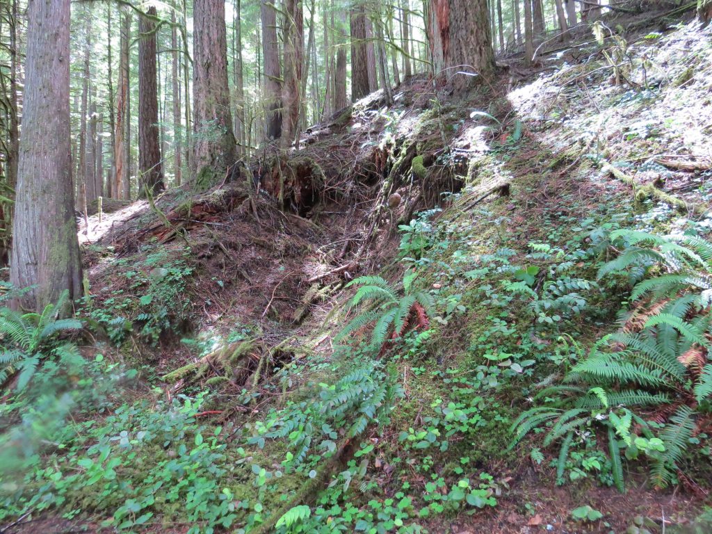
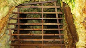
This is actually a caved in mine.  I do not know how far in it went at one time and it also is possible that it was used as a cellar for the local inn and hotel.  I remember seeing it back in the mid 60’s and at that time it still had not caved in.

IMG_5337

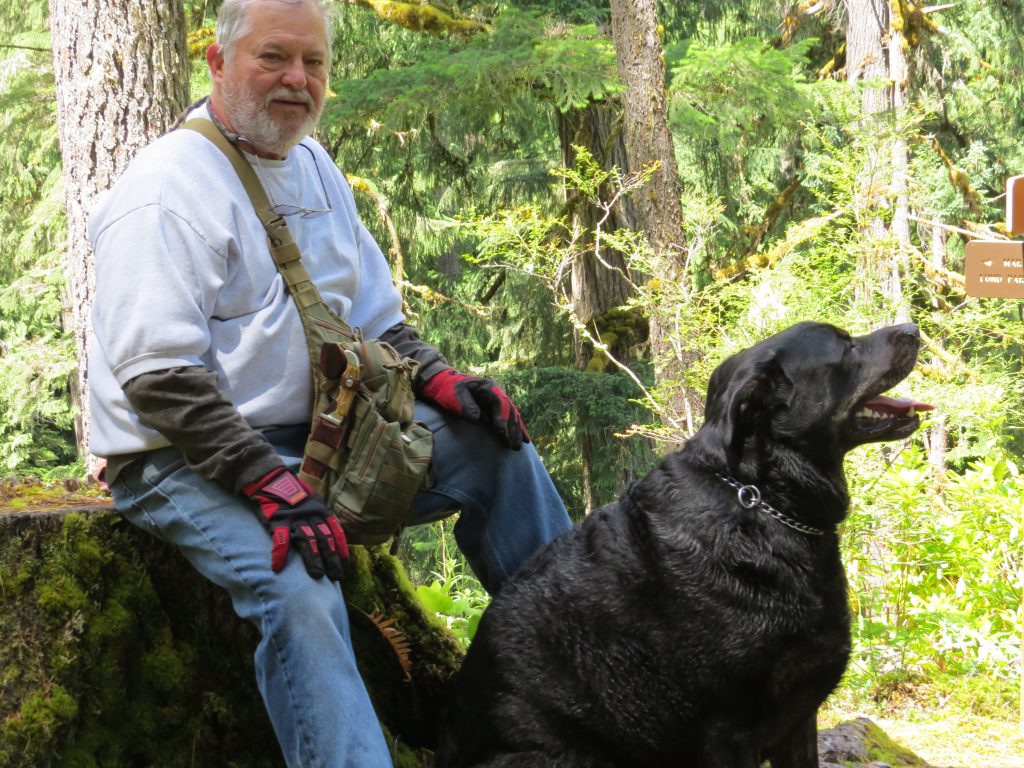
Yours truly with hiking buddy.  If you are thinking of finding this trail and trying it out, please remember that it is bear country.

IMG_5341

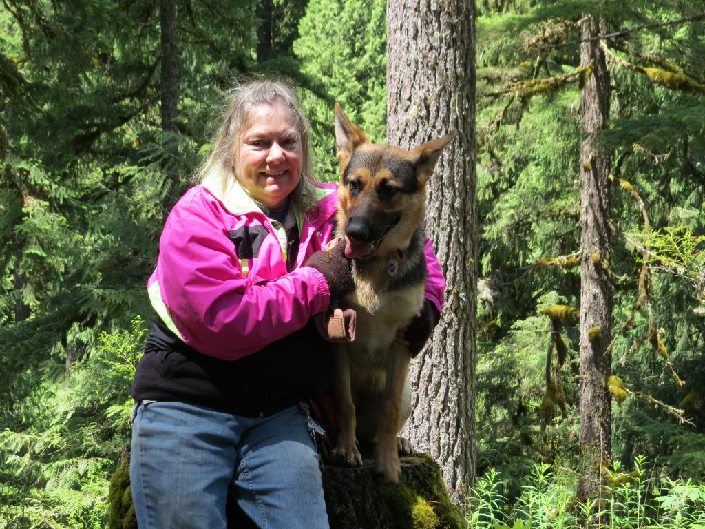
My sister with her trail pal.

The trail is through what looks a lot like old growth forest but I believe that it is old second growth.  The trail loop is around two miles, and exited about 100 yards east of where we started, at Marten Creek.

If you would like to see the rest of the album please click on any picture.